Spatial data · Terrain · Software

Make spatial data useful.
Build with confidence.

Orbital Surveys turns complex project data into accurate, practical information for mining, engineering and infrastructure teams.

26.2041° S 28.0473° E South Africa
Est. 1995 Focus Data to delivery Output Decisions, not data clutter

Orbital / 01

What we do

A clear line from source data to a useful answer.

We combine spatial-data preparation, photogrammetric processing, terrain analysis and purpose-built software to turn supplied project information into outputs a team can act on.

Every workflow is chosen around the available data, the required accuracy and the decision that follows.

Orbital / 02

One controlled workflow

From brief to deliverable.

The value is in the complete chain: a clear brief, well-prepared source data, careful processing and a delivery that fits the work.

  1. 01

    Define

    Start with the decision the information needs to support.

    We confirm the available source files, coordinate reference, required accuracy and final deliverables before production begins.

  2. 02

    Prepare

    Check and organise the supplied project data.

    Imagery, point clouds, surfaces, drawings and existing records are reviewed and structured for the agreed workflow.

  3. 03

    Process

    Turn source files into spatial information.

    Photogrammetry, terrain analysis and data preparation produce aligned imagery, point clouds, surfaces and measured features.

  4. 04

    Deliver

    Supply information that fits the client workflow.

    Outputs are checked, documented and issued in practical CAD, GIS, image, surface and report formats.

Orbital / 03

Capabilities

The right view of the data, at the right scale.

Independent office services when the scope is focused; one connected processing and mapping workflow when it is not.

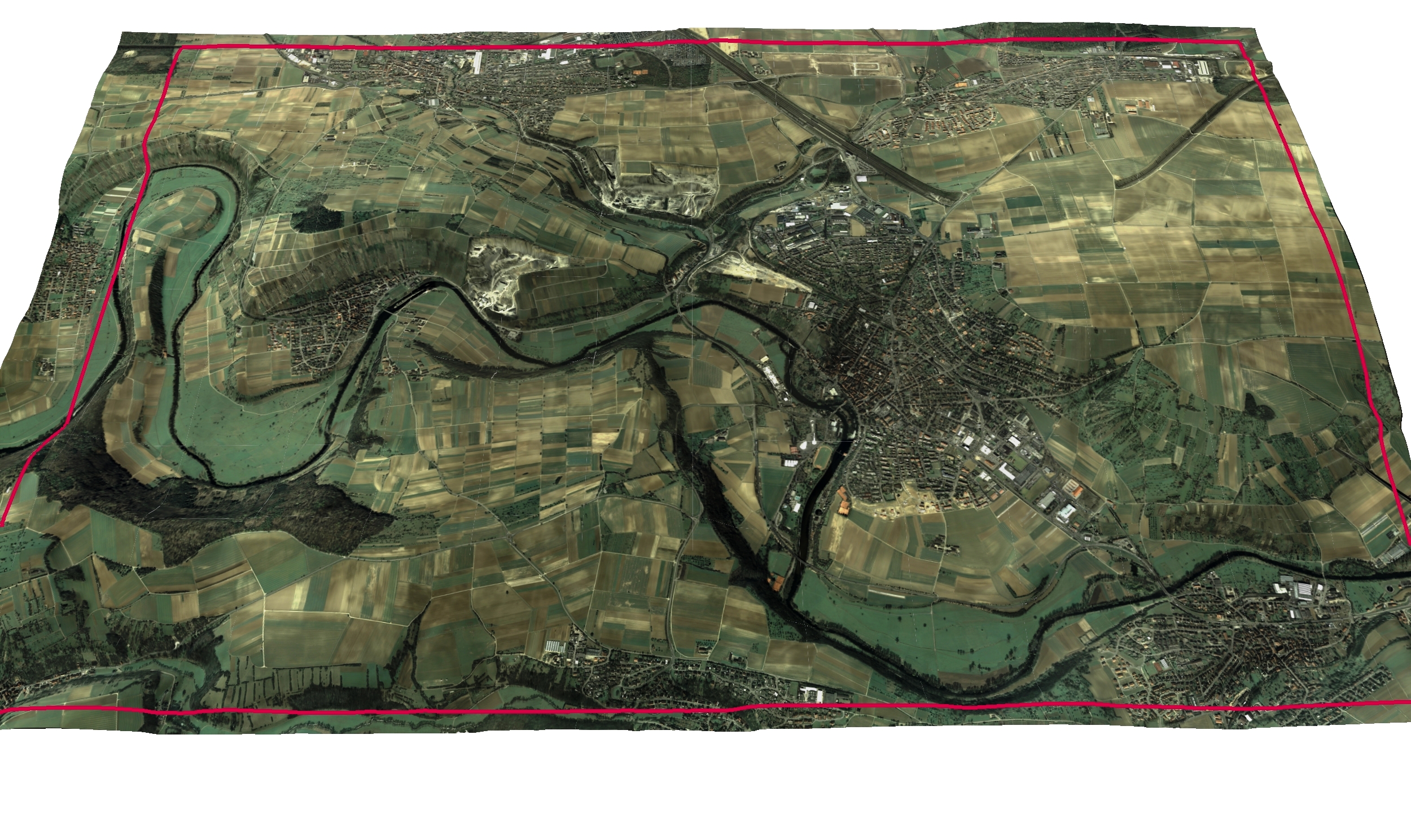
A wide orthophoto showing fields, roads, rivers and developed areas 01

From supplied imagery to measurable project information.

Photogrammetry & terrain processing

We process client-supplied imagery and reference data into aligned, quality-checked spatial outputs for engineering, mining and infrastructure teams.

  • Orthophotos
  • Dense point clouds
  • Digital terrain models
  • 3D site records
View capability
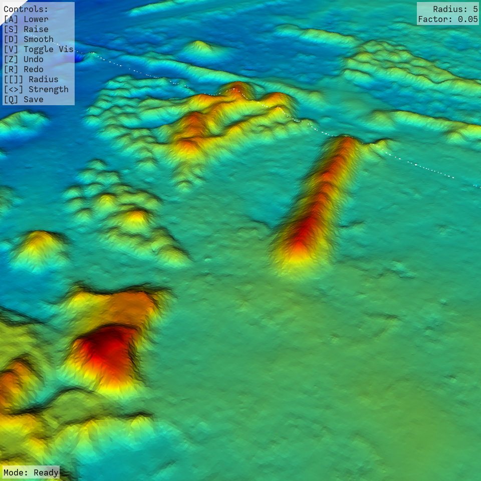
A colour-coded digital elevation model of a project area 02

Shape, level and volume made legible.

Terrain, contours & quantities

Existing point clouds, elevation data and project records are converted into terrain surfaces and engineering information that help teams compare change and plan the next move.

  • Elevation models
  • Contours and breaklines
  • Cut-and-fill quantities
  • CAD-ready surfaces
View capability
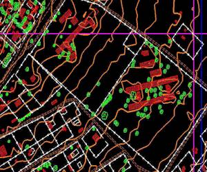
A digital mapping workspace with spatial features and imagery 03

Clear information, structured for the people using it.

Mapping & spatial data

We integrate client imagery, drawings, surfaces and records into maps and spatial datasets that are easier to inspect, share and maintain.

  • GIS-ready datasets
  • Feature digitising
  • Thematic mapping
  • Custom exports
View capability

Orbital / 04

Production software

Built for our own production work. Available to yours.

CloudConstruct and CloudCanvas close the gap between receiving project data and doing something useful with it.

Both systems are used in-house by Orbital. Client access and pricing are available by enquiry.

Product / 01

Photogrammetry production

A controlled path from imagery to mapped output.

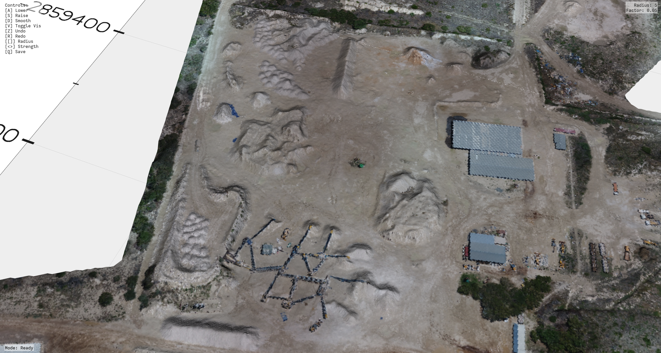
Dense photogrammetric point cloud of an earthworks project
Dense reconstruction / terrain source

CloudConstruct is Orbital's in-house production pipeline for organising client-supplied imagery and reference data, alignment, dense reconstruction, quality reporting and orthophoto delivery.

  1. 01Client imagery
  2. 02Reference data and alignment
  3. 03Dense reconstruction
  4. 04Terrain and orthophoto outputs
  5. 05Reports and handover
Enquire about pricing

Product / 02

Terrain design & analysis

Make the surface useful after it has been built.

CloudCanvas is Orbital's working environment for inspecting terrain, comparing surfaces and turning spatial information into practical engineering geometry and deliverables.

01

Terrain analysis

Compare surfaces, clip areas of interest, calculate cut-and-fill quantities and prepare measured outputs.

02

Pit bench design

Build pit benches with controlled berms, faces and floors, working surface-to-floor or floor-to-surface with volume outputs.

03

Trench design

Draw, select or import a path; define true-V or flat-base geometry, side slopes and gradients; then cut the terrain and report volumes.

04

Drillhole & delivery workflows

Inspect drillhole geology alongside terrain and package CAD, surface, image and PDF outputs for the next team.

Enquire about pricing

Orbital / 05

Measured outputs

Different views. One structured project record.

The output changes with the question—from a supplied image of the full project area to the individual points and lines beneath it.

Detailed orthophoto of roads, buildings and surrounding terrain
01 / OrthophotoSpatially controlled imagery
Dense photogrammetric point cloud of earthworks and stockpiles
02 / Point cloudDense three-dimensional record
Colour-coded elevation model showing height changes across a project area
03 / ElevationTerrain made measurable
Survey contours drawn over a site image
04 / ContoursEngineering-ready linework
Est. 1995

Orbital / 06

The practice

Spatial discipline. Modern ways of seeing.

Orbital Surveys has provided digital mapping and spatial-data services since 1995. The technology has moved from early digital mapping systems to photogrammetric processing, dense terrain reconstruction and purpose-built spatial software.

The principle has not changed: choose the right workflow, check it properly and deliver information that another professional can use with confidence.

Orbital / 07

Start a conversation

Bring us the data. Tell us what needs to be decided.

For spatial-data or processing work, share the available files, timing and output you have in mind. For CloudConstruct or CloudCanvas, select the relevant pricing enquiry.

Prefer email? orbital@mweb.co.za

A short brief is enough. We can work through the technical detail with you.