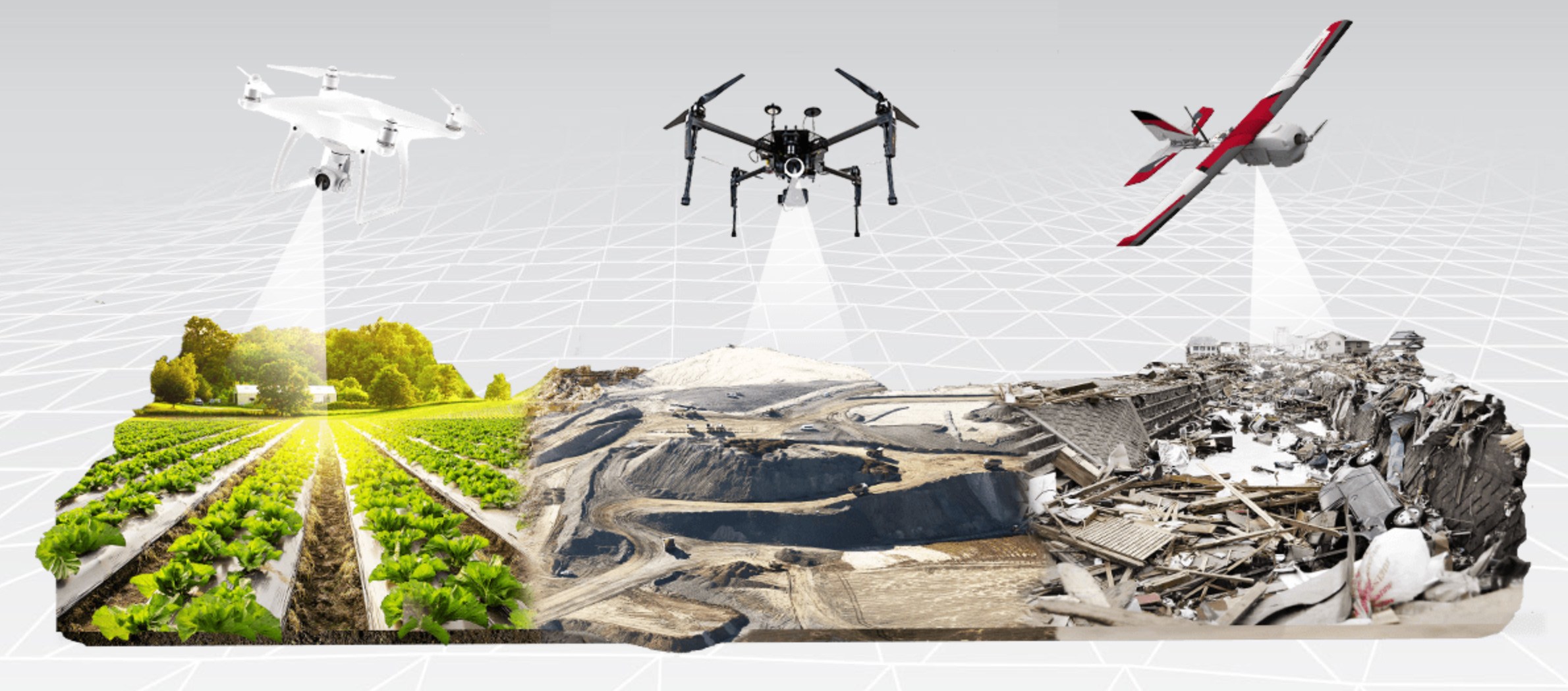
Aerial surveys
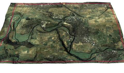
Digital ortho-photos
Creation of rectified high resolution digital images geo-referenced and clipped to suit your mapping needs. Images are provided in all of the popular digital formats.
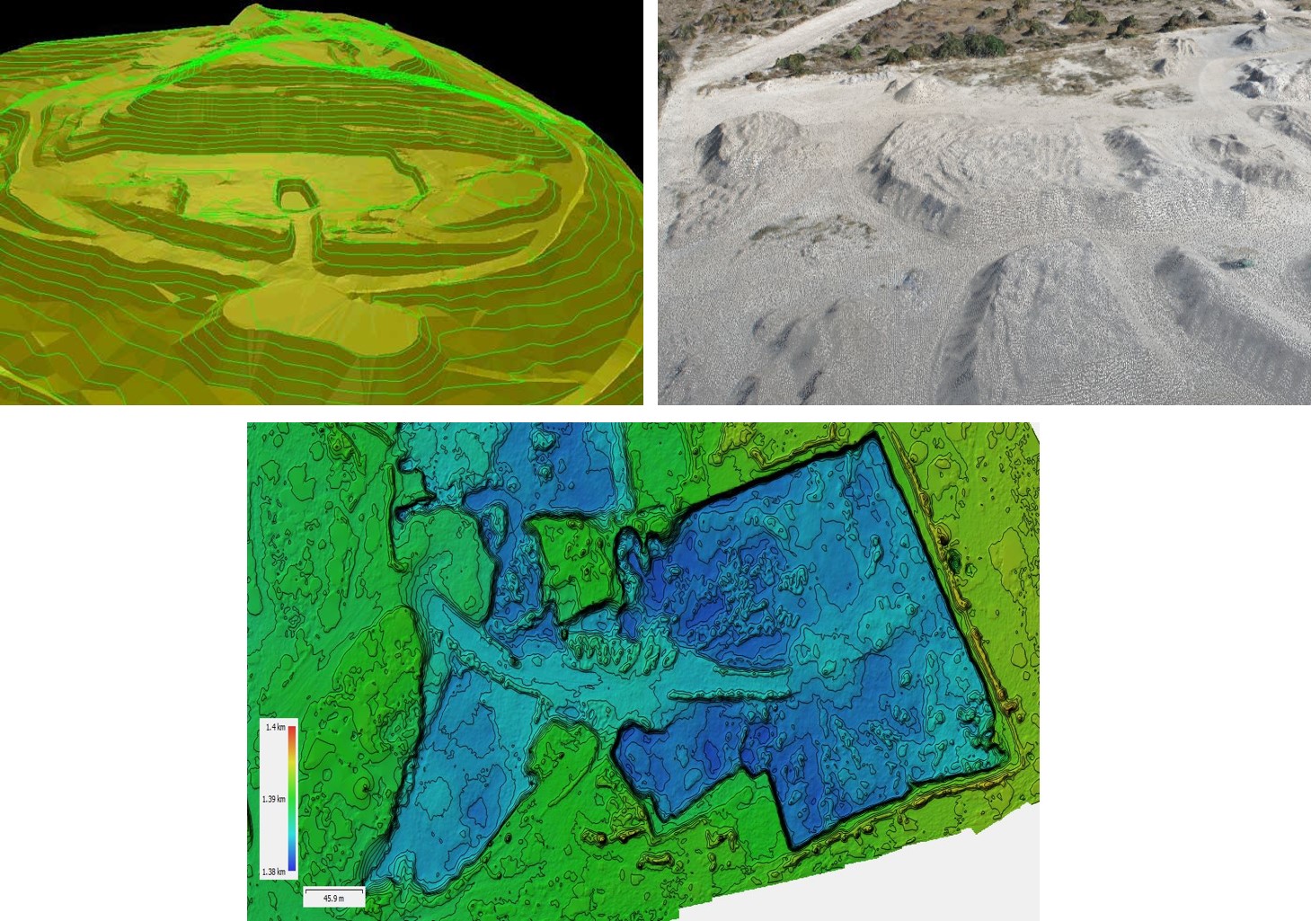
Aerial DTM’s and DEM’s
Auto correlated and/or analytically observed ground data points for the cost effective terrain modelling solution.
Photography
There are three forms of photography that are used:
- Satellite imagery is used for large difficult to reach areas. 100sq km or more

- Conventional large format aerial photography is generally used for the medium to large projects
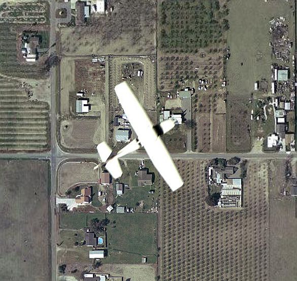
- It is more cost effective to make use of small format photography for areas 300ha or less
Accuracy
Depending on the camera used, the accuracy of the terrain model is a function of the raw pixel size of the imaging sensor. The general rule of thumb for model height accuracy is in the order of 1.5x the raw pixel size.
Contact Us
We can provide a turn key solution which includes Planning, Photography, Ground Control and Digital Modeling
- Deliverables: Orthophoto and contour plans to any scale. All the project data will be provided as a PDF as well as TIFF and Ascii files
- We also provide a service whereby we can model data provided by the client. This provided data being photography and ground control